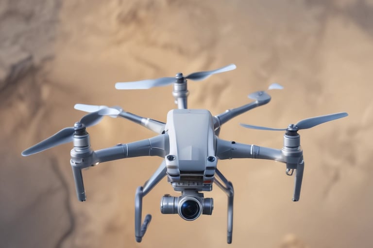
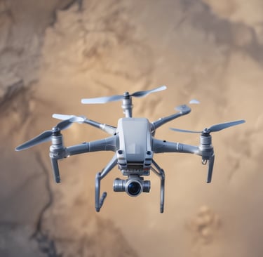
Agriculture
Precision aerial data for healthier crops.


Construction Monitoring
Regular UAV flights track progress and safety on construction sites, providing up-to-date visuals and data to keep projects on schedule and under control.


3D Modeling
We create detailed 3D models from aerial imagery to help with property inspections and planning, turning complex data into clear, actionable insights.

Their UAV inspections saved us weeks on our construction timeline—truly impressive precision.
J. Lee

The detailed thermal scans helped us catch panel issues before they became costly problems.
M. Patel

★★★★★
★★★★★
FAQs
What areas do you cover?
We serve agriculture, construction, solar panel, and property inspection sectors.
How do you ensure safety?
Our pilots follow strict flight protocols and comply with all regulations.
What data formats do you provide?
We offer versatile outputs including 3D models, orthomosaic maps, thermal reports, and detailed imagery sets.
Do you offer custom solutions?
Yes, we tailor our drone services to meet your specific project requirements.
How quickly can I get results?
Data delivery times vary but we prioritize rapid turnaround without sacrificing quality.